REPORT
by Usmanova Z.S. ( Laboratory for Monitoring the Dynamics of Snow and Ice Resources, CARGC), about the International conference "125 years of latitudinal measurements in Uzbekistan" and the training seminar " Application Remote Sensing and Modeling to Alpine Hazard ", Kitab - Tashkent, June 10-13, 2023
The International conference "125 years of latitudinal measurements in Uzbekistan" , June 10 -11, 2023 in Kitab, Kashkadarya region, and the scientific seminar " Application Remote Sensing and Modeling to Alpine Hazard " , June 12-13, 2023 in Tashkent were organized by the Astronomical Ulugbek Institute of the Academy of Sciences of the Republic of Uzbekistan (http://astrin.uz/ru/news/conference/con_12062023.php)
Participants and speakers were from the State Geological Service for Monitoring Dangerous Geological Processes of Uzbekistan, Uzhydromet, the Center for Space Monitoring (Uzbek Space Agency), the Academy of the Ministry of Emergency Situations of Uzbekistan, the National University of Uzbekistan, and also researchers from Switzerland, Germany, Kyrgyzstan and Kazakhstan. Some of the reports were presented online.
The main purpose of the conference in Kitab was to discuss modern methods and means of coordinate-time support in the context of geodynamic problems and remote sensing tasks. The conference program included the report “Monitoring and research of the cryosphere carried out in CARGC”, which reflects the main directions of scientific research carried out by the Central Asian Regional Glaciological Center (CARGC) in the field of monitoring and research of the cryosphere.
The objective of the seminar in Tashkent was to present research results, share knowledge, opinions and experience in the field of remote sensing of mountainous areas and the use of remote sensing data for monitoring and detecting alpine gravitational hazards, mapping snow cover and snow depth, using InSAR technologies for the study of snow, avalanches, landslides and other geological phenomena and processes, the use of satellite radar images for the study of glaciers and numerical modeling of the risk of high-altitude hazards.
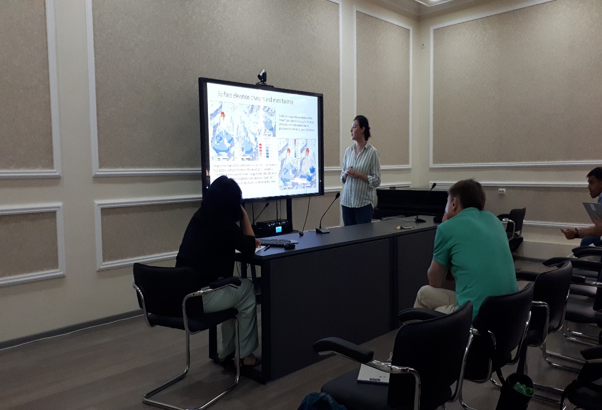 |
At the workshop “Results of geodetic measurements of the mass balance of some glaciers of the Zailiyskiy (Ile) Alatau” was reported, which briefly presented the results of the assessment of the mass balance of the Ile Alatau glaciers based on ground-based measurements and remote sensing. At the workshop the theoretical basis of the use of multi-temporal radar images for the study of dangerous mountain phenomena (avalanches, landslides, mudflows, etc.) and glaciers, and practical work - processing of radar data (SAR data) in specialized SNAP software and a set Sentinel tools, as well as the interpretation of the results were presented.
In general, the seminar contributed to the strengthening of existing and creation of new scientific ties, the participants had the opportunity to exchange knowledge and experience in this important area of research.
Usmanova Z.S. (Researcher, Lab. MDSIR, CARGC)
report
July 12, 2023